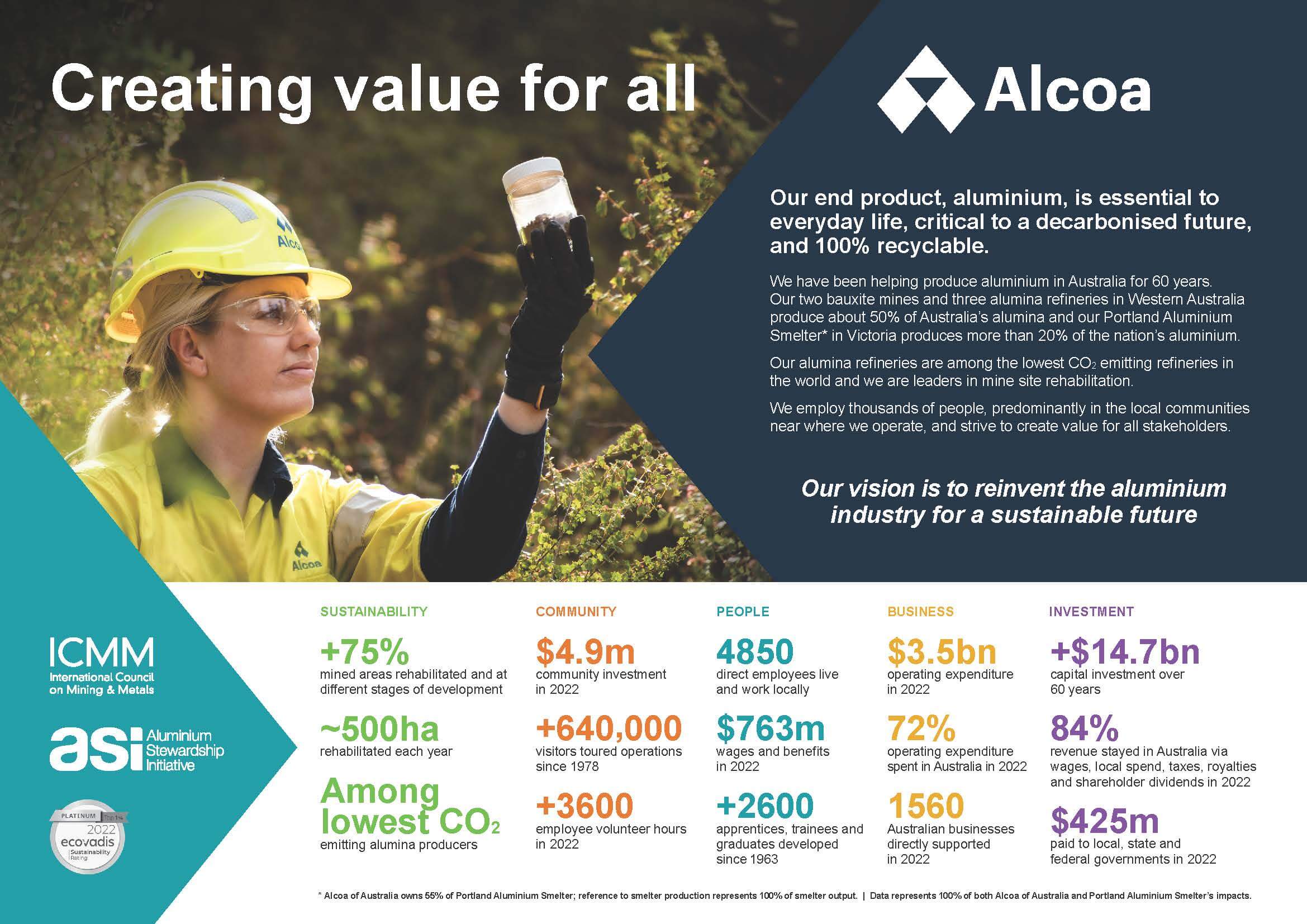
Alcoa in Australia
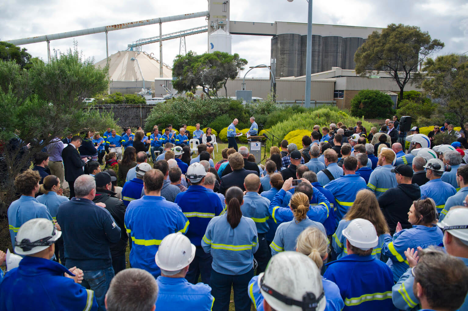
Across Alcoa, you’ll find experienced operators with innovative processes and industry know-how. But it’s not just what we produce, it's how we do it. Responsible production is embedded in our Alcoa values and in Australia and around the world we are consistently recognised for our approach to sustainability.
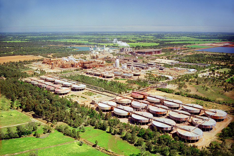
Since our Australian operations began in 1963, we have built a reputation as leaders in environmental management. Alcoa is among the world’s lowest CO2 emitting alumina producers and our Australian business was the first mining company to receive recognition from the United Nations for rehabilitation excellence. Our teams are working daily to develop and lead new and innovative processes to help achieve our Net Zero ambition and our shared corporate vision to build a legacy of excellence for future generations.
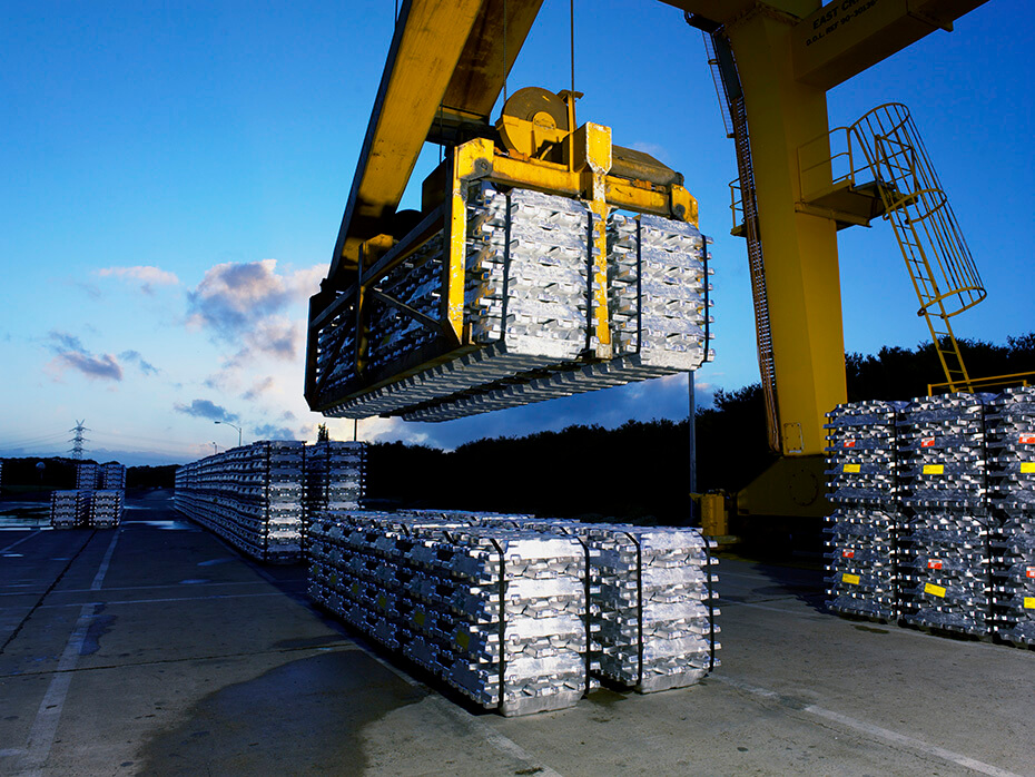
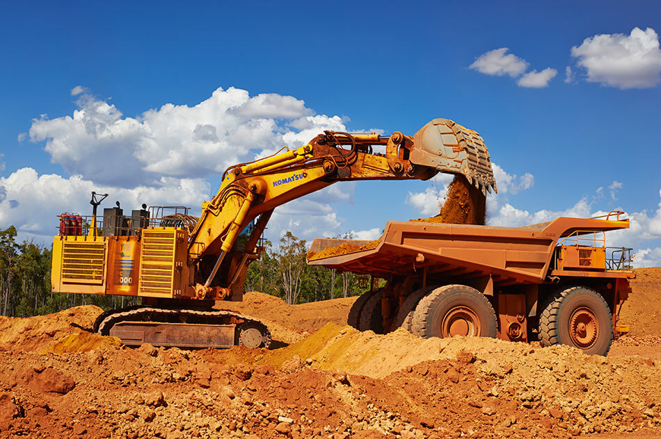
From mine to finished metal, we produce our products with a focus on the environment and our communities and we’re proud of our role to create shared value in the places where we operate. In Australia, annual spend is more than $4 billion locally through wages, taxes, royalties, procurement and community investment.
As we look to the future, we will strive to continue to lead our industry with courage. We will embrace opportunities to reinvent, innovate and challenge the status quo.
Learn more about our history, Australian locations, economic contributions, environmental management and accolades.
Committed to Reconciliation
We acknowledge the Traditional Owners of the lands where we operate and pay respect to their Elders past, present and emerging.
Learn more about our commitment and view our Reconciliation Action Plan.