 Recruitment Fraud Alert: Alcoa has become aware of some fraudulent employment offers being sent to candidates via social media channels. Alcoa never makes job offers or asks for bank details through social media. Always verify the authenticity of any recruitment communication directly through our official channels.
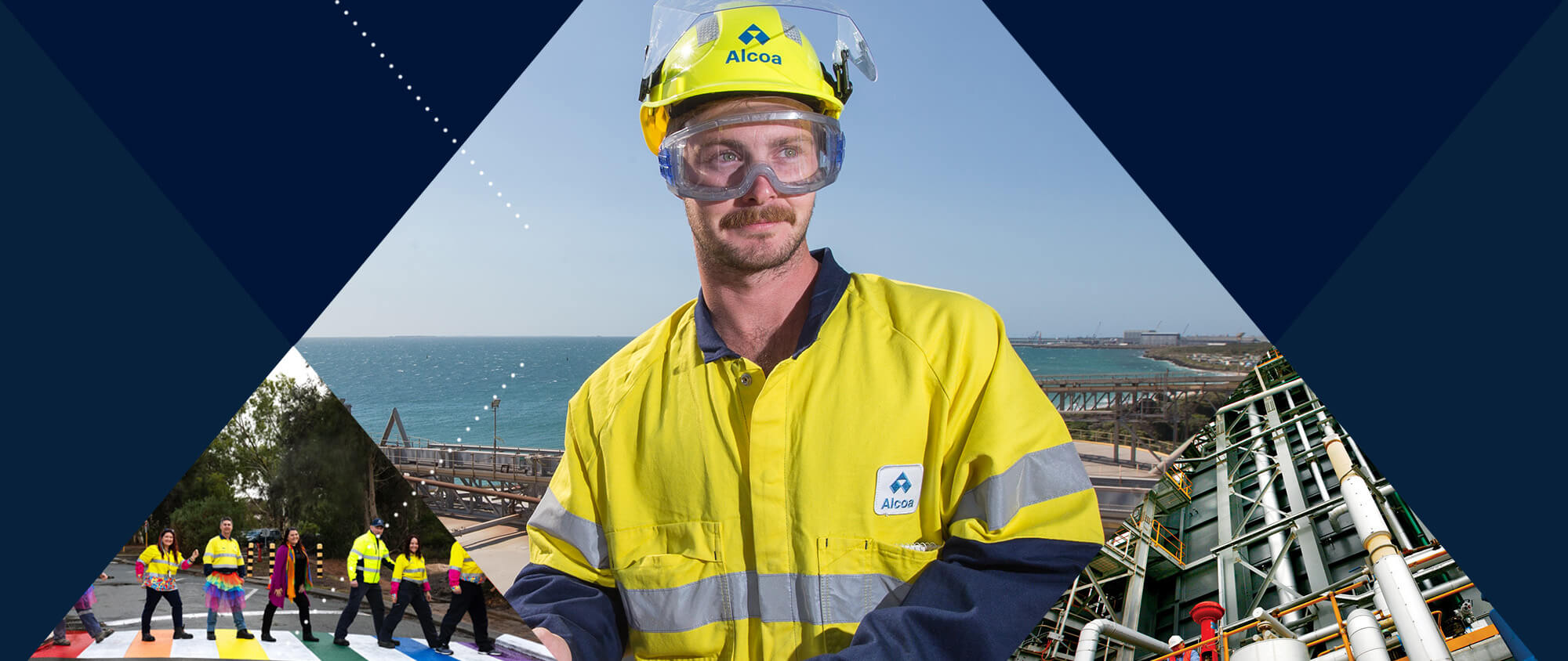
SHAPE YOUR CAREER
in Australia
We are a team that is shaping the future of aluminium, revolutionizing the way the world lives, builds, moves and flies. We are building a legacy of excellence for future generations with world-changing innovations and low-carbon technologies. Come join us, and shape what matters to you.
Australia's operations at Kwinana, Pinjarra, Portland, Wagerup, Willowdale, and Huntly are located close to spectacular coastlines and envious natural forests that make it an enjoyable drive to work, and an even more pleasant place to explore after work. Alcoa prides itself on the relationship we have with the communities we work and live within. On top of that, we enjoy supporting local social causes that our employees believe in.
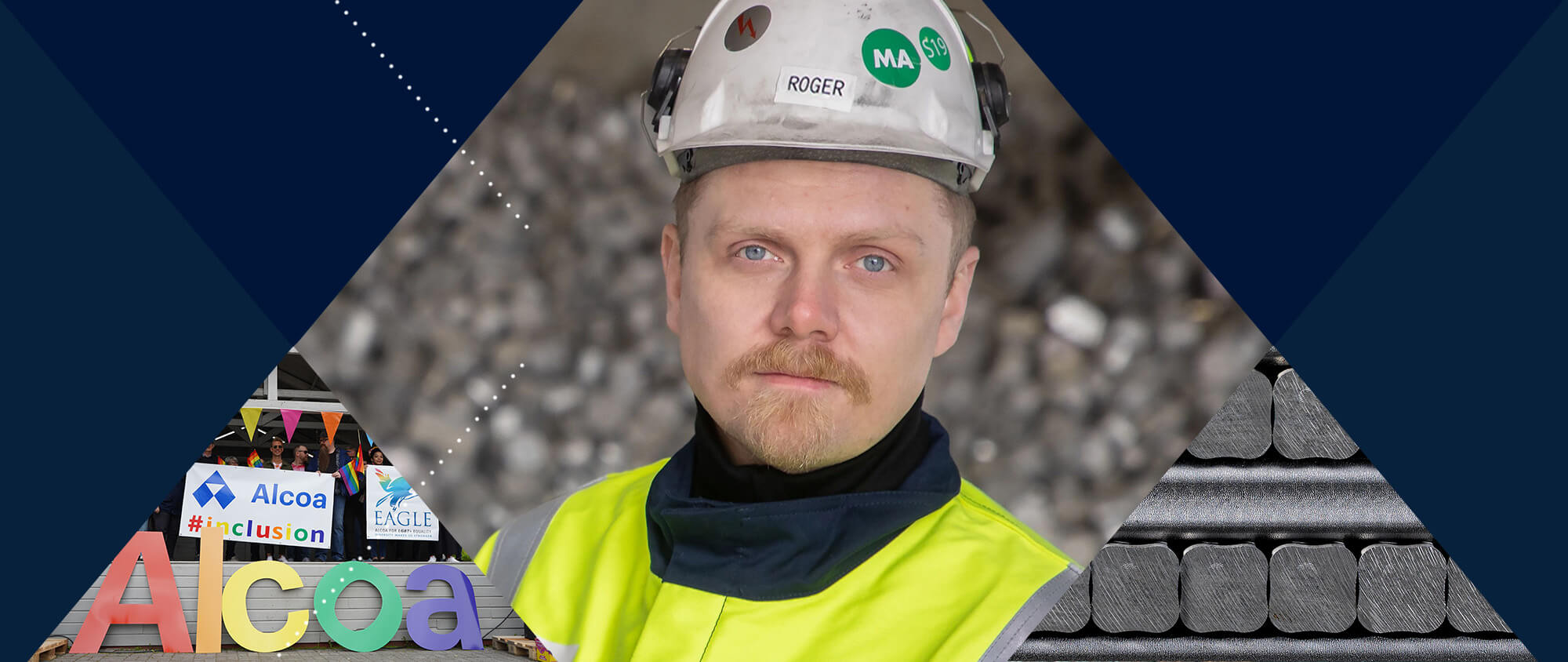
Our workplace is an inclusive and respectful environment, where we embrace change, new ideas and equal opportunities to succeed. We believe in inclusion, diversity, equity and enabling all employees to grow and develop their careers with us. Each year, we actively pursue Employer of Choice for Gender Equality status through the Australian Federal Government’s Workplace Gender Equality Agency (WGEA), having received our 23rd Employer of Choice recognition in 2024. As part of the Workplace Gender Equality Act of 2012, we have also submitted our 2024-25 Public Report. Our Gender Pay Gap Employer Statement 2026 indicates Alcoa of Australia is performing better than the WGEA’s reported Australian average.
So, come follow your passion, collaborate on a global scale and deliver materials essential to the world today. Shape your world with us!
Open Positions in Australia
Explore our talent programs
Alcoa offers a diverse range of programs tailored for students and recent graduates, offering valuable opportunities for professional and skill development.
Are you looking for an opportunity to set yourself apart? Find out more about our Traineeships, Apprenticeships, Graduate Program and Vacation Student programs.
ACCESS APPLICATION INFORMATIONPlease enable targeting cookies to watch videos. You can enable targeting cookies on our Cookie Policy page.
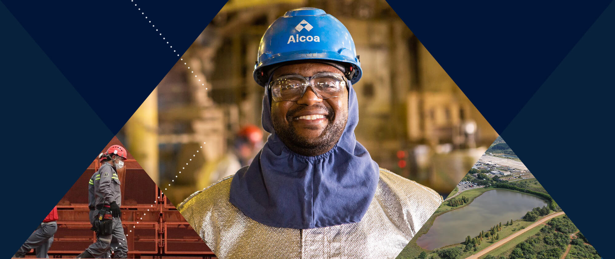
SHAPE YOUR CAREER
in Brazil
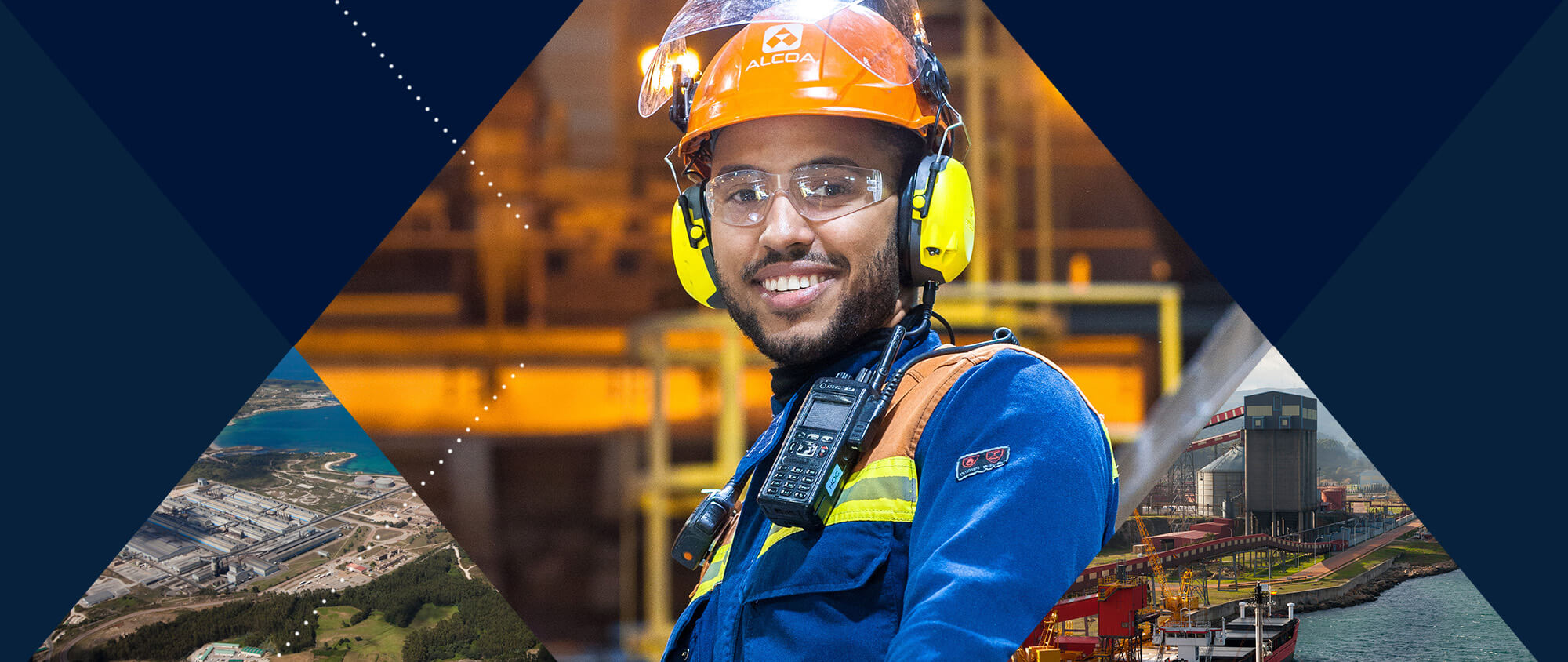
At Alcoa, we work on several links in the aluminum production chain, including bauxite mining, alumina refining, and the production of aluminum ingots and powder – produced only in Brazil within our Company. Our locations in Poços de Caldas, São Luís, Juruti, and São Paulo are all unique to the regions we operate in and offer a variety of work and life experiences.
Across our locations, we promote inclusion, diversity and equity with a commitment to generate value for all employees. Our work has earned us recognition as one of the Best Companies to Work For by Great Place to Work and also by Guia Exame de Diversidade as one of the companies with the best practices related to inclusion, equity, gender, ethnicity, race, People with Disabilities (PCDs) and LGBTQIA+ people. We have also been highlighted in the Human Rights Campaign's 2022 Corporate Equality Index as one of the best companies in Brazil for LGBTQIA+ professionals with a perfect score!
If you want to work for a world class organization, where you and your contributions are valued, come check out our opportunities! Shape your world with us!
Open positions in Brazil
Explore our talent programs
- Internship - We offer experiences in operational and industrial environments, enabling young students to experience technical and practical challenges. Apply to our internships
- Trainee - Our program promotes accelerated development through training addressing technical and behavioral skills, focused on developing individuals’ capabilities so that they can progress into more complex positions in technical areas.
- Young Apprentice - This program aims to stimulate the professional and social training of young people from the local community at the beginning of their careers, training them for the company or for the job market in compliance with current legislation.
Please enable targeting cookies to watch videos. You can enable targeting cookies on our Cookie Policy page.
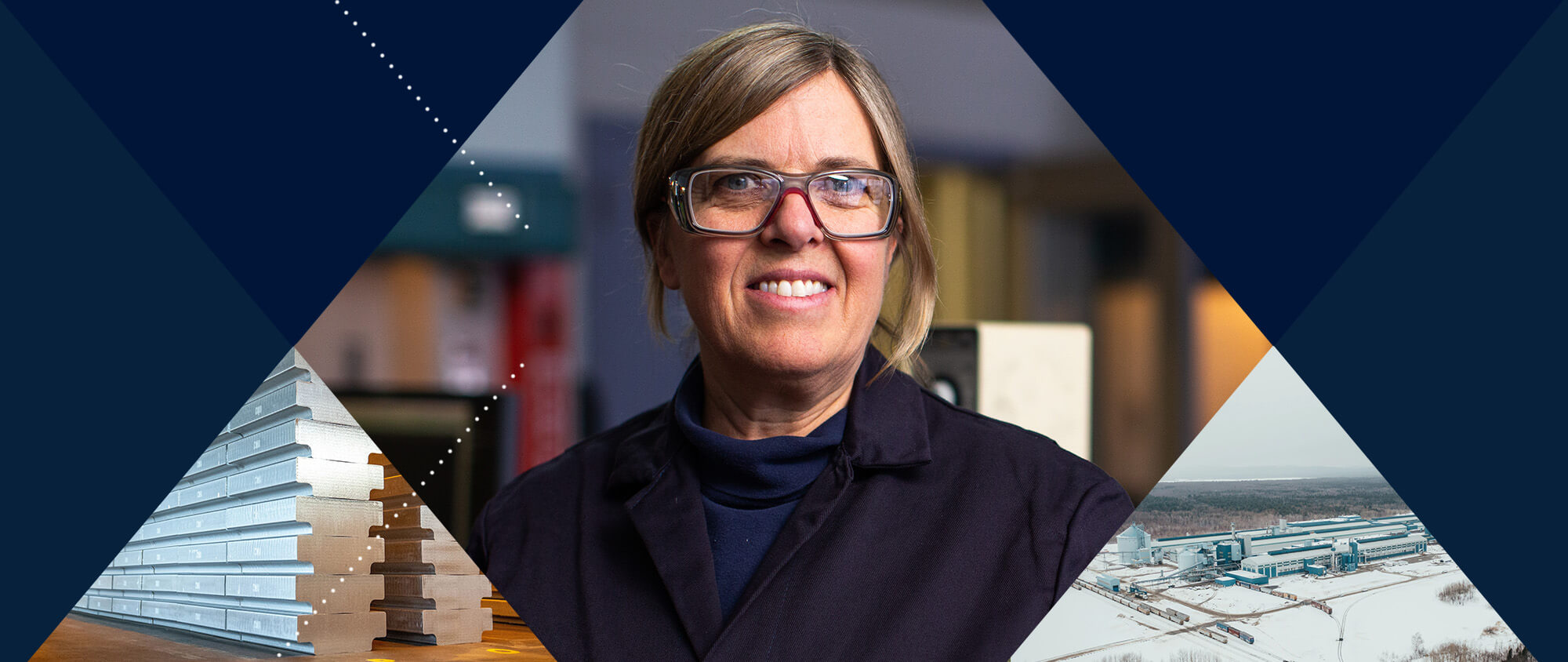
SHAPE YOUR CAREER
in Canada
For us, each Alcoan helps to shape their work, team and the world.
Being part of our team in Alcoa Baie-Comeau means giving yourself the chance to have an exciting and stimulating career in an exceptional living environment where all services are accessible. Located on the banks of the St. Lawrence and surrounded by hundreds of lakes, rivers and trails, Baie-Comeau is an outdoor paradise and the perfect place to raise a family.
At Bécancour our company is proud to be involved in our community with the Alcoa Foundation Fund providing support for sustainable communities. Respect for the environment is also a fundamental element of the way we operate. Life does not limit itself to work, as in Bécancour new experiences are everywhere with the river and beautiful protected natural environment leaving a strong impression on all those who discover the region.
The aluminum smelter in Deschambault is the largest employer in the Portneuf region and is located 40 minutes from the thriving cities of Québec and Trois-Rivières. Bordered by the majestic St. Lawrence River, the region offers grandiose landscapes and a nice balance between rural and urban life. It is a place with a rich culture and heritage while being ideal for outdoor enthusiasts.
By joining our team, you shape the future of sustainability with world-changing innovations and low-carbon technologies. You have the power to shape things to make them better. Shape your world with us!
Open positions in Canada
Explore our work opportunities for students
We offer experiences in operational and industrial environments, enabling students to experience technical and practical challenges.
ACCESS APPLICATION INFORMATIONPlease enable targeting cookies to watch videos. You can enable targeting cookies on our Cookie Policy page.
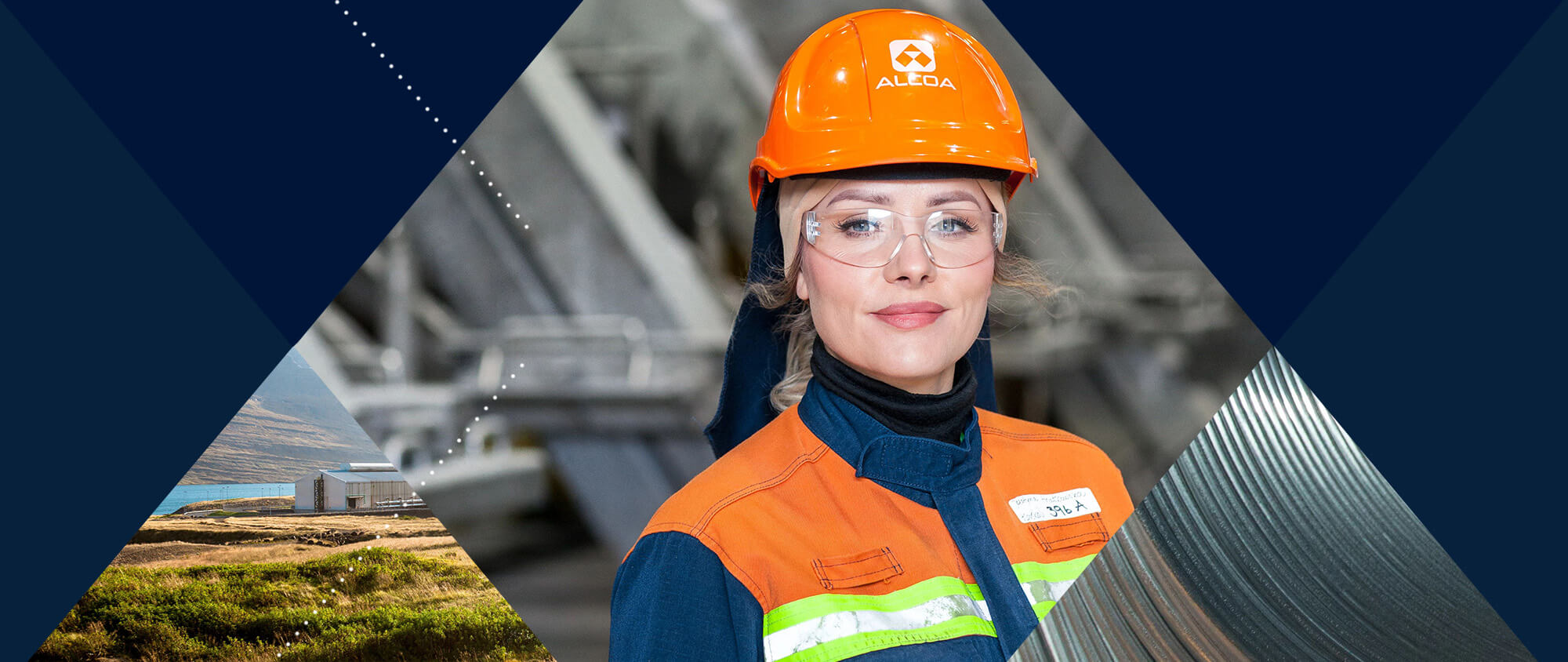
SHAPE YOUR CAREER
in Iceland
We are shaping the future of aluminum, revolutionizing the way the world lives, builds, moves and flies.
Our operation is located in Fjarðaál, a community that promotes well-being initiatives to improve social, economic, cultural and environmental conditions. The landscapes that surround us are fisheries, protected national parks and breathtaking scenery stretching far beyond the eye. You can explore and be at one with nature within footsteps of work.
As Alcoans, we have the power to shape things to make them better. We are a dynamic team of professionals, engineers and technically trained employees that turn raw potential into real progress.
Come join us and help us shape the future of sustainability through revolutionary innovations and low-carbon technologies. Shape your world with us!
Explore our talent programs
- Internship: - We offer experiences in operational and industrial environments, enabling young students to experience technical and practical challenges.
- Summer programs - These are short term assignments through the summer to promote on-the-job experiences. This is a great way to get an understanding of our work environment and put your theoretical learning into practice.
Please enable targeting cookies to watch videos. You can enable targeting cookies on our Cookie Policy page.
SHAPE YOUR CAREER
in Norway
At Alcoa, you are an important part of our purpose: to turn raw potential into real progress. You have the potential to shape your career, the environment and the industry to make them better.
Our operations are surrounded by beautiful landscapes and sailing towns at our doorstep to explore. Located in communities with accessible services and great sporting facilities, Alcoa is proud of the long-standing relationships we have within these communities and gives our employees time to support social and diverse causes that they connect with. A solid company with over 50 years of industrial history in Norway, we offer a variety of technical roles and ongoing career development opportunities. With a diverse workforce made up of people from all over the world, this is an inclusive place to work located in picturesque towns. It makes for the perfect place to settle down with your family and pursue your career development.
Be part of a team shaping the future of aluminium, revolutionizing the world we live in and revolutionizing the future. You'll help shape the future of sustainable innovations and low-carbon technologies. Shape your world with us!
Open positions in Norway
Explore our talent programs
- Trainee - Our program promotes accelerated development through training addressing technical and behavioral skills, focused on developing individuals’ capabilities so that they can progress into more complex positions in technical areas.
- Young Apprentice - This program aims to stimulate the professional and social training of youth from the local community at the beginning of their careers for a business or the labor market.
Please enable targeting cookies to watch videos. You can enable targeting cookies on our Cookie Policy page.
SHAPE YOUR CAREER
in Spain
Every Alcoan is a work-shaper, team-shaper, idea-shaper and world-shaper. The power is in your hands to shape the things that matter to us all. Come and shape your career with us!
In Spain, we are in the province of Lugo, San Ciprián. This region has a beautiful coastline where you can visit legendary towns and enjoy stunning beaches, among them Las Catedrales, a Natural Monument. We embrace change and provide equal opportunities to all. Here, you can thrive and do your best work in a supportive environment with a work-life balance and growth opportunities.
You are an essential part of our purpose: to turn raw potential into real progress. Join in and help us to shape the future of sustainability with world-changing innovations and low-carbon technologies. Shape your world with us!
Explore our talent programs
- Internship: We offer experiences in operational and industrial environments, enabling young students to experience technical and practical challenges.
Please enable targeting cookies to watch videos. You can enable targeting cookies on our Cookie Policy page.
SHAPE YOUR CAREER
in the USA
Whether behind a crane, in the driver’s seat, at a keyboard or on the plant floor, as Alcoans we are committed to building a better future. We are encouraged to innovate and shape the world around us.
For decades, we have been committed to our locations in Pittsburgh, Knoxville, Lake Charles, Massena and Newburgh (Warrick). We have enjoyed great progress and collaboration in a wide variety of services with the communities we are located within – from recreational and cultural events to providing career opportunities to the local talent.
We’re building an “everyone” culture. Not only can you grow at Alcoa, but you can also belong. In 2022 alone, our Care for People made us one of Fortune’s World’s Most Admired Companies, and we were also included in the Bloomberg Gender Equality Index and Human Rights Campaign listing.
On top of that, we respect work-life balance and offer opportunities for growth. We embrace change, new ideas and provide equal opportunities to succeed. Now the power is in your hands to shape the things that matter to us all. Shape your world with us!
Open positions in the USA
 Recruitment Fraud Alert:
Alcoa has become aware of some fraudulent employment offers being sent to candidates via social media channels. Alcoa never makes job offers or asks for bank details through social media. Always verify the authenticity of any recruitment communication directly through our official channels.
Explore our talent programs
- Internship: We offer experiences in operational and industrial environments, enabling young students to experience technical and practical challenges.
Please enable targeting cookies to watch videos. You can enable targeting cookies on our Cookie Policy page.
SHAPE YOUR CAREER
around the World
As an Alcoan you are part of a global team committed to building a legacy of excellence for future generations.
You can grow your career in locations around the world, including Australia, Brazil, Canada, Iceland, Hungary, The Netherlands, Norway, Singapore, Spain, and the United States!
At Alcoa, you will find meaning and purpose in your work. Opportunities exist across the business, including early career programs, operational and corporate roles, which are just a click away. Join us! Come help us shape an even better workplace, with work-life balance and equal opportunities that help everyone thrive.
We invite you to browse current job openings and apply today! The power is in your hands to shape the things that matter to us all. Shape your world with us!
Please enable targeting cookies to watch videos. You can enable targeting cookies on our Cookie Policy page.